Archicad 25 Help
Click here to see this page in full context

Collaborate
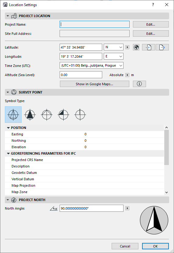
A native Survey Point has been now introduced, instead of having to rely on a GDL object. Adjust Survey Point settings in the updated Location Settings dialog.
The Survey Point is integrated into ARCHICAD's coordination workflows including IFC, BCF, DXF and DWG, which can now utilize the project’s native Survey Point data.
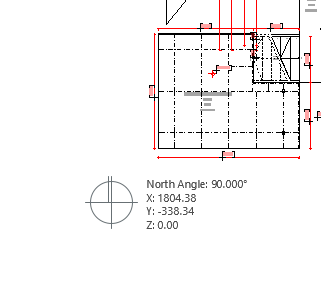
The Survey Point is an on-screen point that is easy to edit, and its coordinates can be displayed, scheduled and published. This point can also be placed far from origin and zoomed to when needed, to locate it quickly.
See Survey Point.

